
Forest Defenders: Have fun while fighting deforestation


A new video game called Forest Defenders is using crowd sourcing techniques and satellite imagery to create a validation dataset for the Terra-i deforestation monitoring tool. Forest Defenders was presented during the open house day of the University of Applied Sciences Western Switzerland on March 21st 2014. This first prototype of the game was developed by Grégoire Aubert as part of his MSc. final project under the supervision of Andres Perez Uribe.
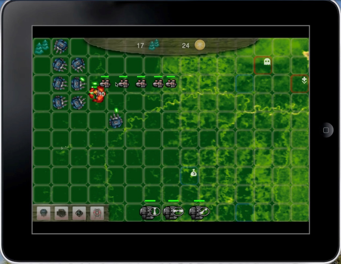
Figure 1 First prototype of Forest Defenders running on IPad
Tower defense games like Forest Defenders are a sub-genre of real-time strategy video games. The goal of tower defense games is to try to stop enemies from crossing a map by building traps to slow them down and towers which shoot at them as they pass. Enemies and towers usually have varied abilities, costs, and upgrade prices. When an enemy is defeated, the player earns money or points, which are used to buy or upgrade towers. Choosing the type and positioning of the personal towers is the essential strategy of the game.
A phase of the game is dedicated specifically to the purpose of gathering detections of deforestation from the players. The game is played in two steps. First is the detection phase, during which the player looks for deforested areas by comparing satellite images of the same area taken at different dates. What the player identifies as deforestation is then stored into a server for further analysis.
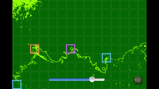
Figure 2 The game during the deforestation detections phase.
The game then randomly selects some of the areas where the player indicated possible deforestation and gives the player a plus or minus depending on if the player’s detections match Terra-i ones. Next the tower defense phase starts and continues until the player either survives all the enemy’s attacks or loses the game.
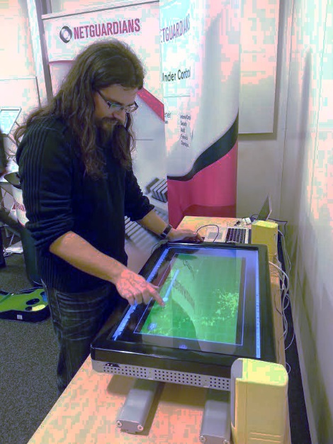
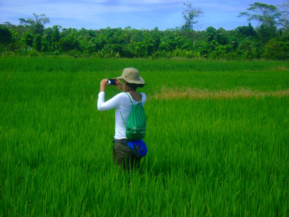
Figure 3 Forest Defenders was presented during the open house day of the University of Applied Sciences Western Switzerland on March 21st 2014.
This first prototype of Forest Defenders is based on MODIS NDVI images with a resolution of 250m. Although it is working smoothly and is fully playable, users have been struggling to interpret the NDVI maps. The next step of development will therefore be to incorporate new satellite imagery datasets such as Landsat 8 as a basemap.
Grégoire Aubert, main developer of this first prototype of Forest Defenders, says “The actual version of Forest Defenders, even without a perfect balancing of its elements and its difficulty, seems to appeal to people. Most of the people who tried it out, liked it. They found it a bit difficult at first and didn’t always understood how to recognize and detect a deforestation. But after few attempts, they wanted to play again and try to beat it.” He continued, “this project was challenging and required a lot of work to achieve the actual result. I acquired a lot of experience in game and mobile application development. And learning all these new things and developing this project was very exciting and interesting.”
You can download an alpha version of the game here http://ape.iict.ch/research/forestdefenders/ForestDefenders.apk and install it by following these instructions.
NOTE: This is only a prototype version which does not represent in any case the final game. This apk has been tested on many devices and has been proven to be stable and safe. However, you install this app at your own risk and we decline any responsibility for the safety of your device if you do so.
Blog post by Louis Reymondin. Revision of English-language version by Caitlin Peterson (CIAT / CCAFS visiting researcher).


The Terra-i team together with CRS El Salvador under the Raices project carried out a virtual workshop through the teams platform to technicians from the Ministry of Environment and Natural Resources, CARITAS, Universidad El Salvador, CENTA, about the Mapping of land cover using remote sensors and open source tools such as GEE, SEPAL and QGIS- Plugin Semi Automatic Classification.


Near real-time vegetation loss detection in Southwestern Ethiopia: calibration, validation, and implementation of the Terra-i system


The Alliance of Bioversity International and the International Center for Tropical Agriculture (CIAT) (the Alliance) conducted a training for local stakeholders on the use of Terra-i as part of the collaboration with the Netherlands Development Organisation – SNV in the Coffee Agroforestry and Forest Enhancement for REDD+ (CAFÉ-REDD) Project.


From May 8-12, 2017, the Terra-i team, together with staff from the DGOTA of Peru's Ministry of Environment, carried out the first field validation of vegetative land cover changes detected during Terra-i monitoring for 2016 and 2017, using the technology UAV. This work was carried out under the framework of the project “Sustainable Amazonian Landscapes”. The team carried out over-flights with a Phantom 3 advanced rotor drone and a fixed-wing Ebee drone in seven townships of Yurimaguas. The objective of this work was to recognize the dynamics of land cover and land use changes in the region while at the same time to validate the accuracy of the detections of forest loss being monitored by Terra-i in Yurimaguas.


The Terra-i team has worked hard on renovating Terra-i’s website since early this year. A set of new features on the website provides interactive contents and facilitates adaptation to the mobile devices of our users. The fresh website was developed using the latest update of an open-source, Java-based web system, Magnolia CMS 5.4.4. This update was customized to add different categories of interaction such as news, vegetation cover changes, and information, among others.


Globally more than 1 billion people depend on forests for their livelihoods. Forests play a crucial role in climate regulation, ecosystem services provision and regulation, water supply, carbon storage and many other functions that support biodiversity. Currently the global rate of deforestation is substantial, and there is a growing need for timely, spatially explicit data that flag natural vegetation changes due to human activities.


The latest update of Terra-i has been used with the Co$ting Nature ecosystem services assessment tool to understand the impacts of recent forest loss in Colombia on biodiversity and ecosystem services.

During the 1st and 12th of June 2015, the Terra-i team, together with the Instituto de Investigaciones de la Amazonía Peruana (IIAP) and the Universidad Nacional Agraria La Molina (VLIR-UNALM), conducted the second field validation of the data produced by the Terra-I system. This time, the study area was the Yurimaguas district, Alto Amazonas province, Loreto region (Peru). We used information on populated places, main roads, rivers and information on land cover changes detected for 2013, 2014 and 2015 to define the 65 sampling points (or Terra-I pixels) for the validation process (Figure 1).